
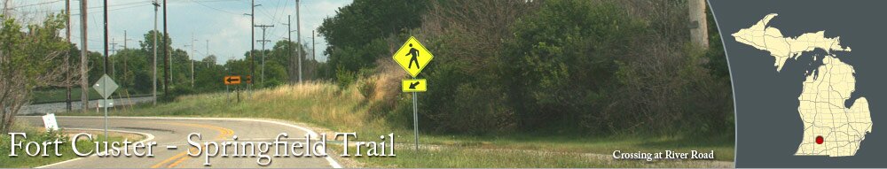
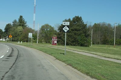
Between Springfield and Fort Custer Recreation Area, there is a paved trail that winds along M-96, ending at the Fort Custer National Cemetery near Augusta. A wide shoulder bike lane continues next to M-96 to the entrance to Fort Custer Recreation Area.
This route makes it easy for people in the Battle Creek area to ride their bike to Fort Custer to take advantage of all that the park offers, including swimming, fishing, camping, and miles of trails.
When using the bike lane along M-96, stay alert and use caution while riding next to the road.
This route makes it easy for people in the Battle Creek area to ride their bike to Fort Custer to take advantage of all that the park offers, including swimming, fishing, camping, and miles of trails.
When using the bike lane along M-96, stay alert and use caution while riding next to the road.
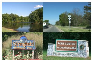
Photographs
Pictures of Fort Custer, including the trails, lakes, and more.
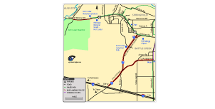
Get a map of the Fort Custer Recreation Area to Springfield trail and area bike routes.


|
|