
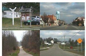
Starting in Greenvile, the Fred Meijer Heartland Trail is a scenic route for cyclists and hikers, passing through small communities and along acres of farmland.
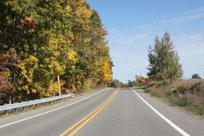
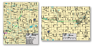
A small section, northeast of Greenville, uses the wide paved shouders along Peck Road. The trail ends at the south side of Peck Road, and then trail users travel along the wide paved shoulder to Lake Road. The paved shoulder goes north along Lake Road and ends where the paved trail resumes and then goes northeast towards Stanton.
Approximate distance between stops along the trail: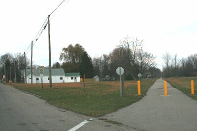
- Greenville (Grove Street) to Lake Road: 6 miles
- Lake Road to Stanton: 10 miles
- Stanton to McBride: 4 miles
- McBride to Edmore: 3 miles
- Edmore to Vestaburg: 7 miles
- Vestaburg to Riverdale: 4 miles
- Riverdale to Ewell: 4 miles
- Ewell to Alma: 4 miles
- Greenville (Grove Street) to Edmore: 23 miles
- Stanton to Alma: 26 miles
- Lake Road to Alma: 36 miles


|
|