
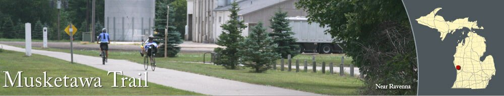
Following the route of the historic Muskegon, Grand Rapids and Indiana Railroad, the Musketawa Trail covers over 25 miles from 8th Avenue north of Marne to the outskirts of Muskegon. The paved trail is used for bicycling, snowmobiling, jogging, walking, horseback riding, and roller-blading.
The popular trail passes by rolling farmland and crosses rural, country roads. Along the way, the Musketawa Trail goes through Conklin and along the southern edge of Ravenna.
The popular trail passes by rolling farmland and crosses rural, country roads. Along the way, the Musketawa Trail goes through Conklin and along the southern edge of Ravenna.
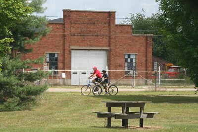
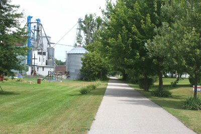
Photographs
Pictures of the Musketawa Trail and areas near the trail.

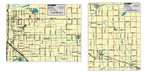
Download maps of the Musketawa Trail.


|
|