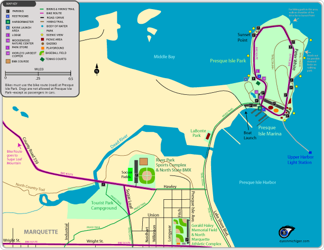

Northern Marquette Parks and Trails Map
Parks included: Presque Isle Park and Marina, River Park Sports Complex, North State BMX, Gerald Haley Memorial Field & Marquette Athletic Fields.Trails included: Bike route and hiking trails at Presque Isle Park, Part of Marquette Paved Trail System, Part of bike route on Country Road 550.
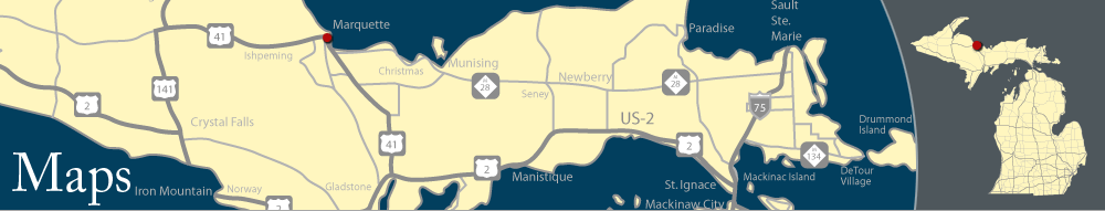
Maps of Marquette, Michigan
View maps of beaches, trails, parks, attractions, historic spots, restaurants, hotels, and more in Marquette by clicking a link for the online version (GIF) and PDF version. PDF versions are full-page maps, saved at a higher resolution.
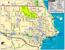 |
Downtown Marquette Map (Online version) Downtown Marquette Map (PDF)
Parks included: Mattson Park, Cinder Pond Marina, Shiras Park, McCarty's Cove, Harlow Park, Gerald Haley Memorial Field & Marquette Athletic Fields.
Trails included: Part of Marquette Paved Trail System. Bike route on Wright Street. Other locations: Superior Dome, U.P. Children's Museum, Marquette Maritime Museum, Marquette Harbor Light Station, restaurants, and more. |
|
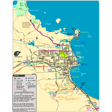 |
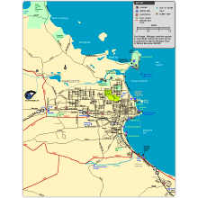
Wide View of Marquette Parks and Trails Map (Online version) Wide View of Marquette Parks and Trails Map (PDF)
Trails included: Marquette's Paved Trail System, Bike route along Country Road 550 and Big Bay Road, Mountain Biking and Hiking trails at Mt. Marquette, start of the wide-shoulder bike route to Munising.
|
||
|
|
||||||
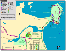 |
Northern Marquette Parks and Trails Map (Online version) Northern Marquette Parks and Trails Map (PDF)
Parks included: Presque Isle Park and Marina, River Park Sports Complex, North State BMX, Gerald Haley Memorial Field & Marquette Athletic Fields.
Trails included: Bike route and hiking trails at Presque Isle Park, Part of Marquette Paved Trail System, Part of bike route on Country Road 550. |
|
 |
Marquette Snowmobile Trails Map (Online version) Marquette Snowmobile Trails Map (PDF)
Bike Routes shown: the Lighthouse to Lighthouse Bike Route and Mackinaw City to Wilderness State Park Bike Route
Also shown: McGulpin Point Lighthouse, The Headlands County Park, and Cecil Bay County Park. |
||
Also see:
- Munising-Marquette Bike Route
|
|